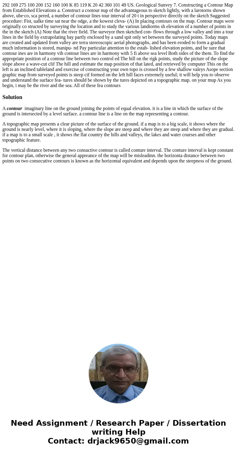
292 169 275 100 200 152 160 100 K 85 119 K 20 42 360 101 49 US. Geological Sunvey 7. Constructing a Contour Map from Established Elevations a. Construct a cootour nup of the advantageous to sketch lightly, with a larotorns shown above, ube·co, sca pered, a number of contour lines tour interval of 20 t in perspective directly on the sketch Suggested procedure: Fist, ualke time sat near the odge, a the kowest cleva- (A) In placing contours on the map. Contour maps were originally co structed by surveying the location and to study the various landiorms sh elevation of a number of points in the in the sketch (A) Note that the river field. The surveyor then sketched con- flows through a low valley and into a tour lines in the field by extrapolating bay partly enclosed by a sand spit only wt between the surveyed points. Today maps are created and updated from valley are terra stereoscopic aerial photographs, and has been eroded to form a gradual much information is stored, manipu- nd Pay particular attention to the estab- lished elevation points, and be sure that contour ines are in harmony vih contour lines are in harmony with 5 fi above sea level Both sides of the them. To find the appropriate position of a contour line between two control ed The hill on the rigk points, study the picture of the slope slope above a wave-cut clif The hill and estimate the map position of that lated, and retrieved by computer This on the left is an inclined tableland and exercise of constructing your own topo is crossed by a few shallow valeys Asope section graphic map from surveyed points is steep cif formed on the left hill faces extremely useful; it will belp you to observe and understand the surface fea- tures should be shown by the tures depicted on a topographic map. on your mup As you begin, i may be the river and the sea. All of these fea contours
A contour imaginary line on the ground joining the points of equal elevation. it is a line in which the surface of the ground is intersected by a level surface. a contour line is a line on the map representing a contour.
A topographic map presents a clear picture of the surface of the ground. if a map is to a big scale, it shows where the ground is nearly level, where it is sloping, where the slope are steep and where they are steep and where they are gradual. if a map is to a small scale , it shows the flat country the hills and valleys, the lakes and water courses and other topographic feature.
The vertical distance between any two consuctive contour is called conture interval. The conture interval is kept constant for contour plan, otherwise the general appreance of the map will be misleadinn. the horizonta distance between two points on two consecutive contours is known as the horizontal equivalent and depends upon the steepness of the ground.

 Homework Sourse